August 28, 2018 - Martha's Vineyard

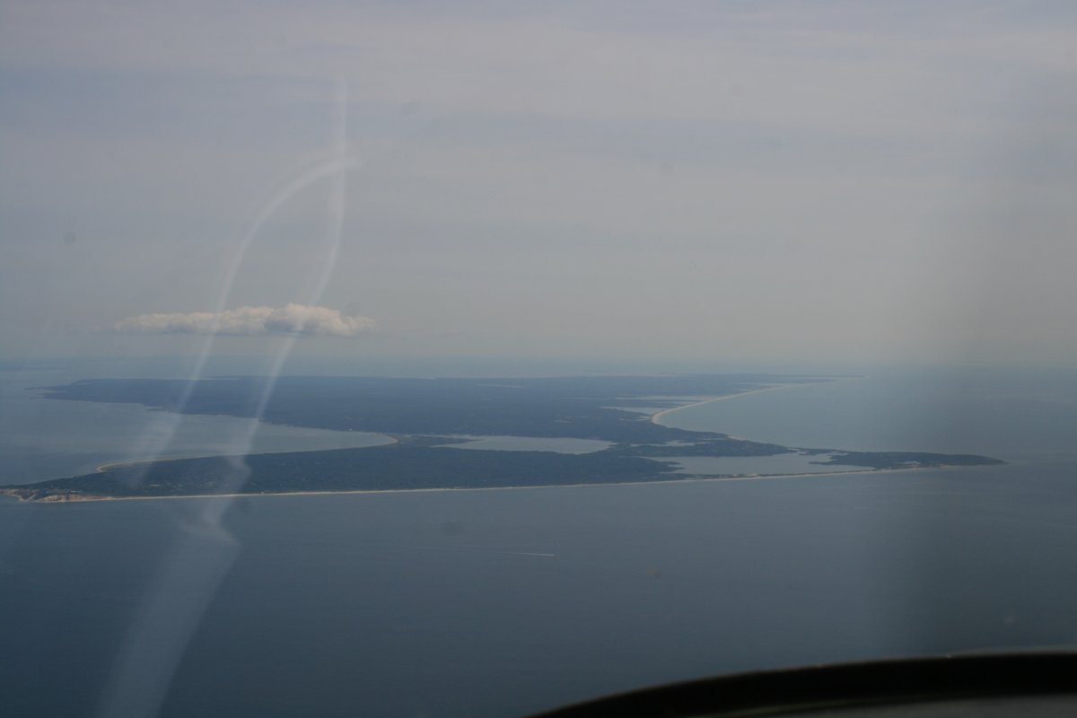
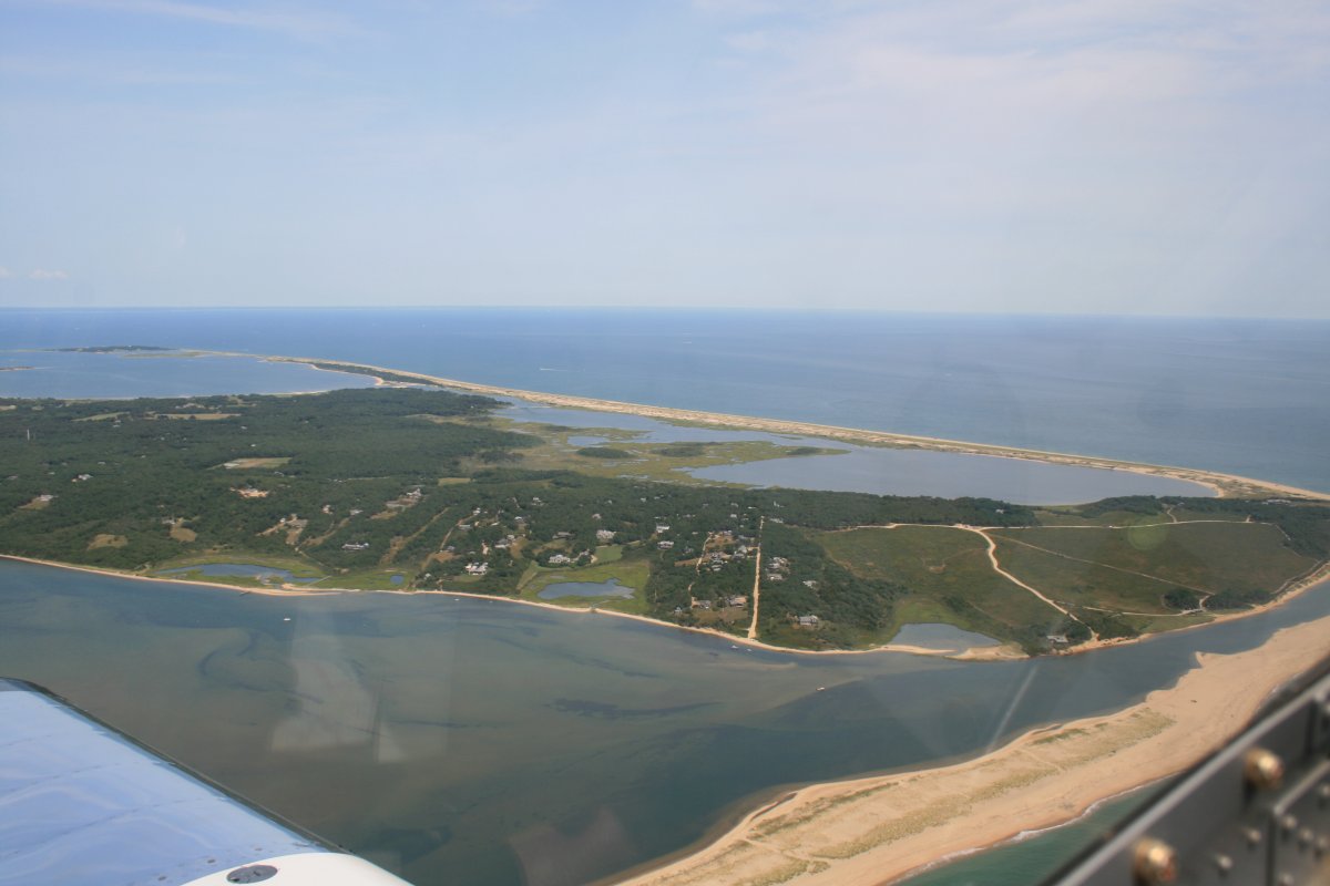
I departed Block Island and continued my east northeasterly course to Martha's Vineyard.  This time I had about 40 nautical miles of ocean to cross.  Not far in an RV.

And there it is, the famous Martha's Vineyard!

   
Getting closer.
   
Passing by Nomans Land, a little island on the southwest corner of Martha's Vineyard.  I was surprised to learn that the U.S. Navy used it as a practice bombing range as late as 1996.  Now it is uninhabited due to unexploded ordnance.
   
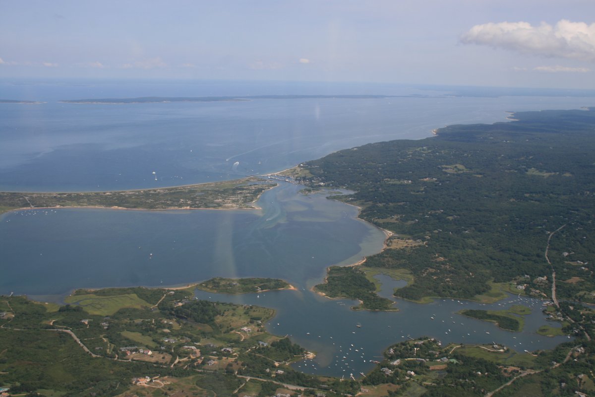
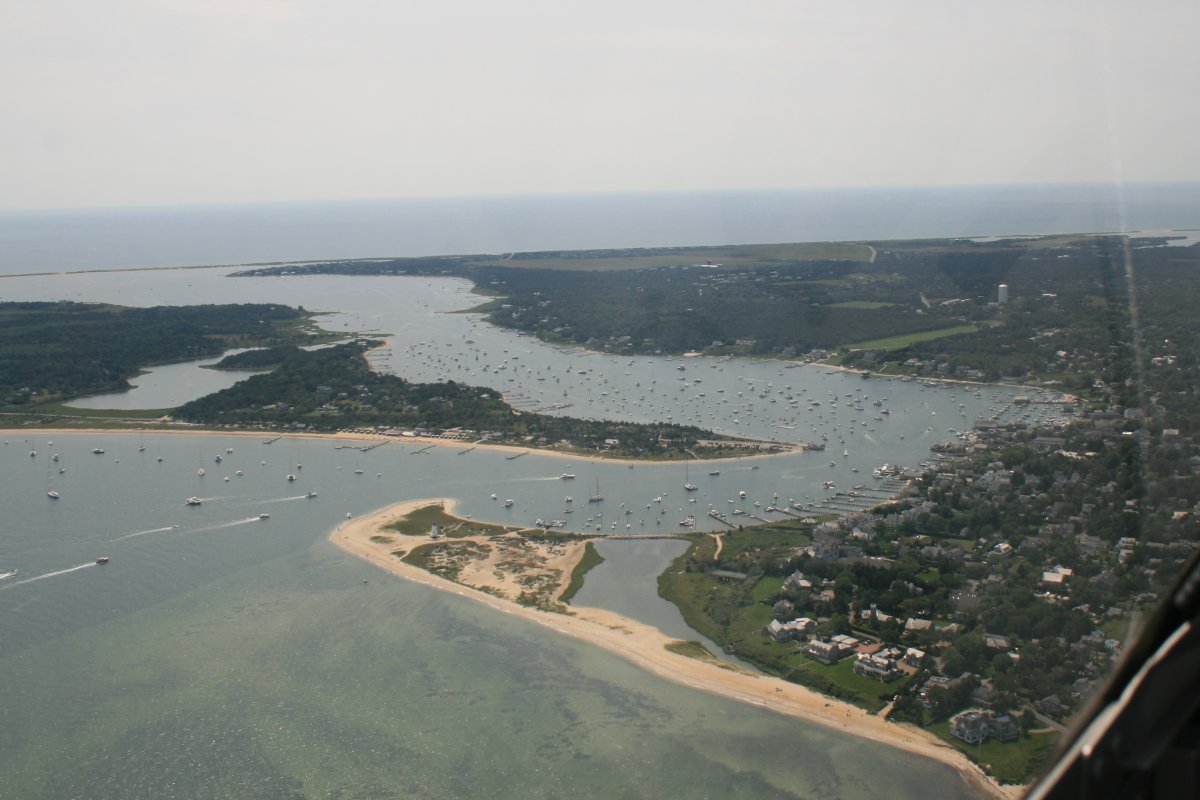
Menemsha.  Passing by the western side of Martha's Vineyard.  The little fishing village of Menemsha is at center top and is well known for being the shooting background for the fictional "Amity Island" of the 1975 film Jaws.
   
Martha's Vineyard has a towered-airport in the center of the island so I had to skirt the southern side of the island to stay out of their airspace.
   

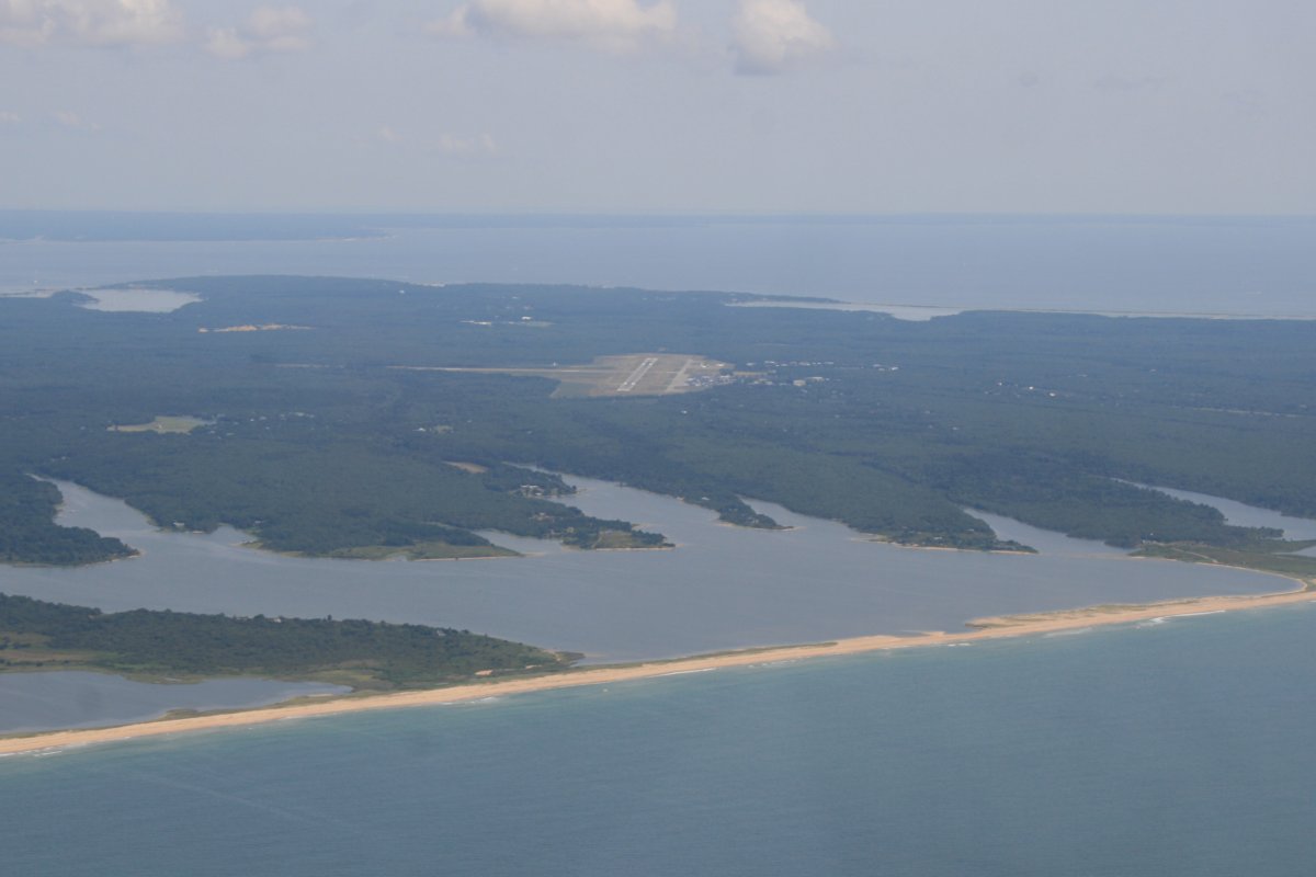
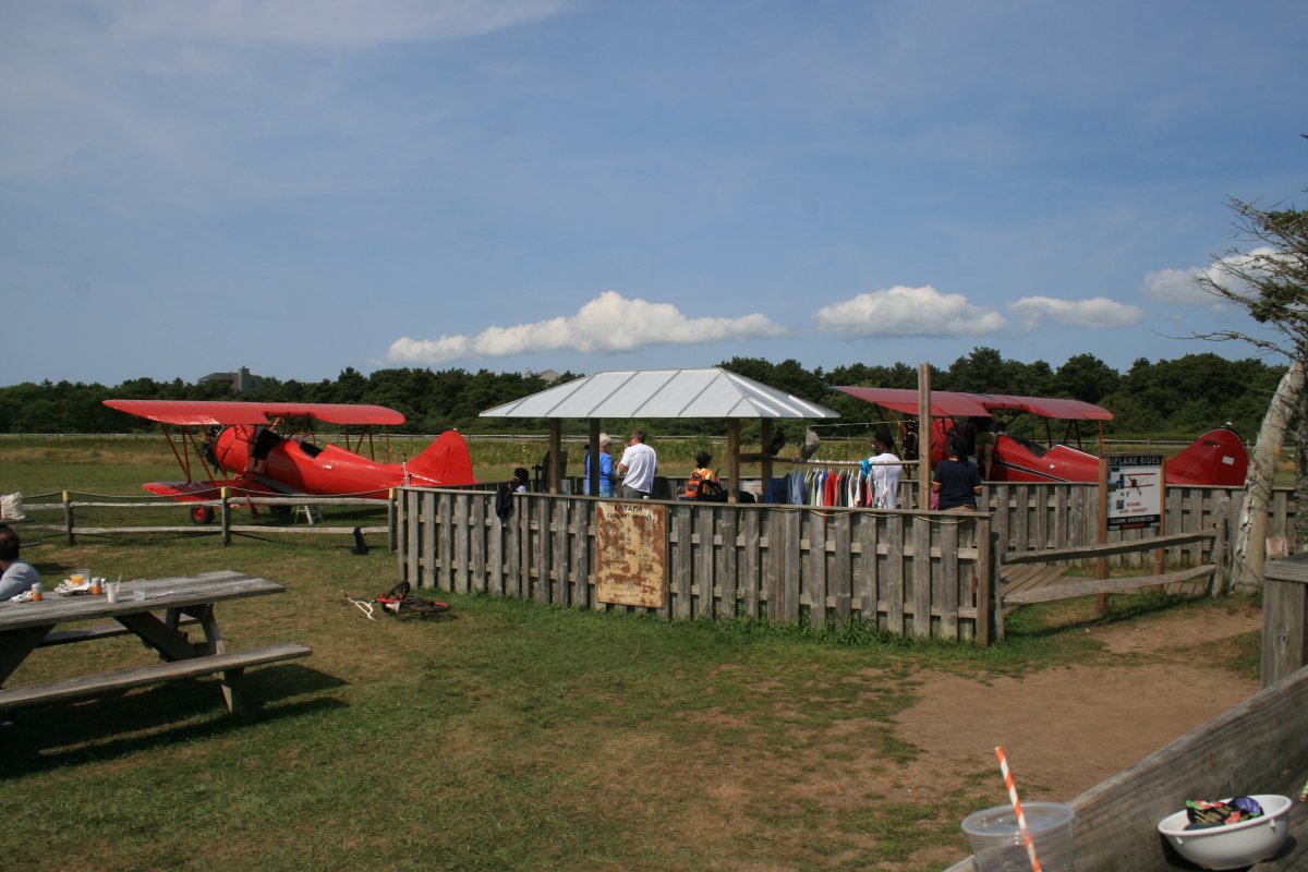
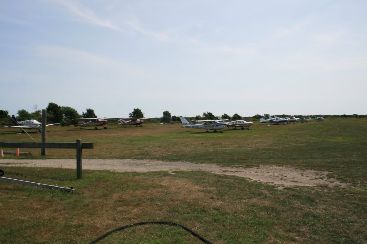
My destination was Katama, an airfield that has three grass runways and an on-field restaurant!  I made a counter-clockwise three-quarters circle around the airport and landed to the south, on runway 21.

Here I am on base leg for runway 21.

   
Safe on deck.  This airfield also had someone directing airplane parking.  That's the on-field restaurant in the background.  Like Block Island, there were lots of people around here too.
   
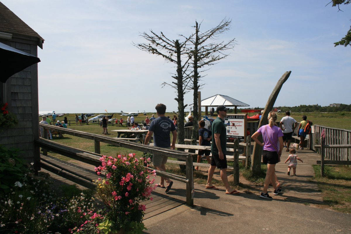
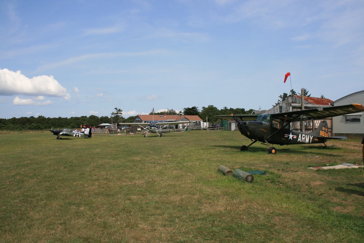
Looking south.  Runway 21 is just to the right so when a plane landed, it diners got a close look at it.
   
There was an airplane ride operation right by the restaurant, with two Wacos.
   
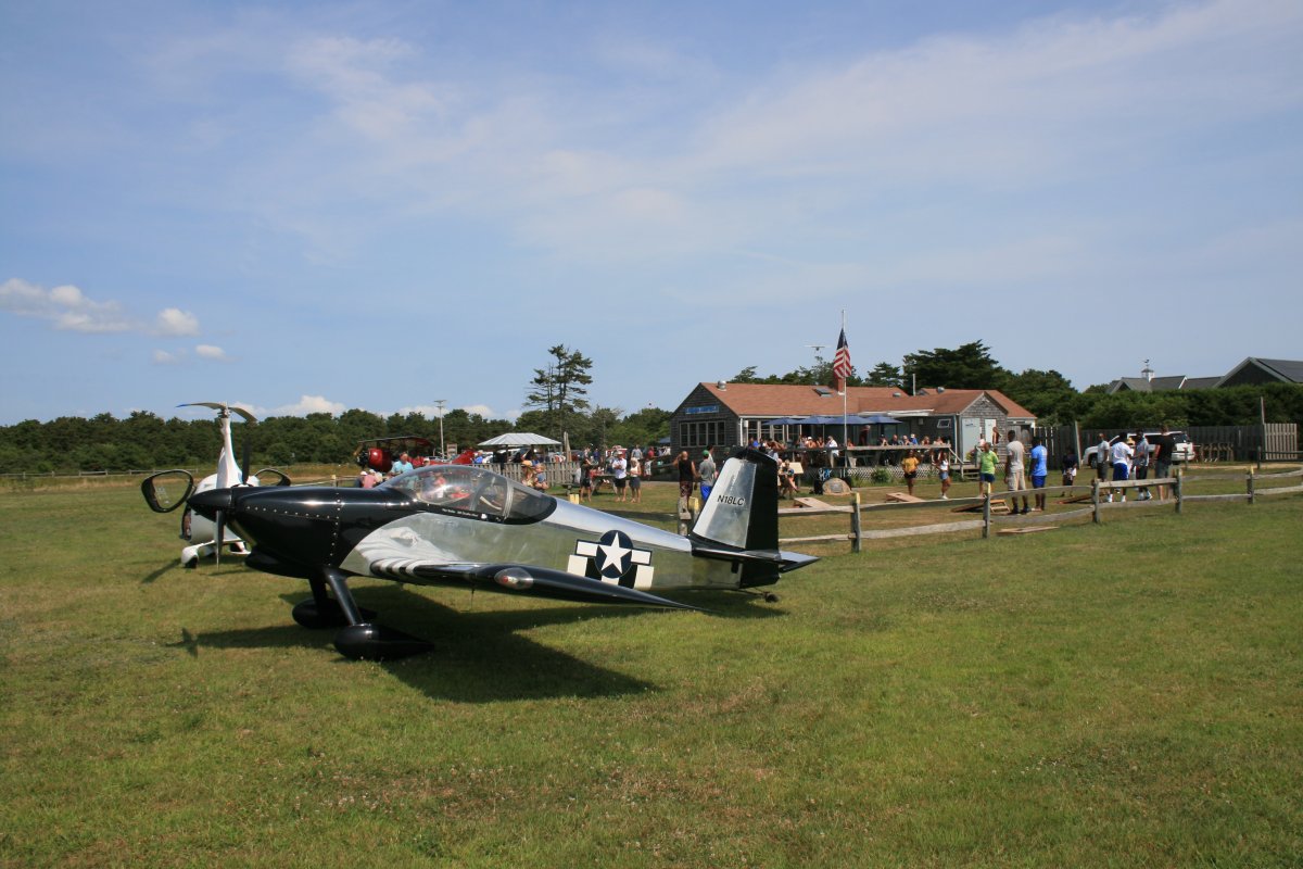
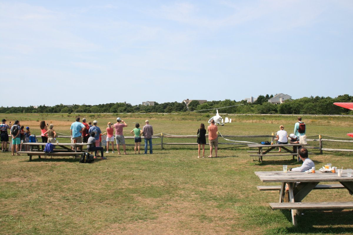
People watching a gyro-copter about to take off from the viewing area.
 
I had an excellent breakfast of Eggs Benedict sitting outside with this view.
   
Hats off to the Gentles for making this great airport possible.
   
Katama has quite a large ramp area.  At the other side of the airfield is another ramp area that you can park your plane at and walk a short distance to the beach!
   
You can even get fuel here, which I did.  They only take cash or check though; no credit cards.
   
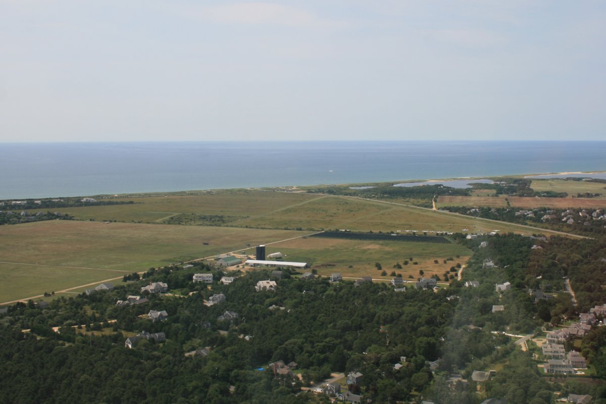
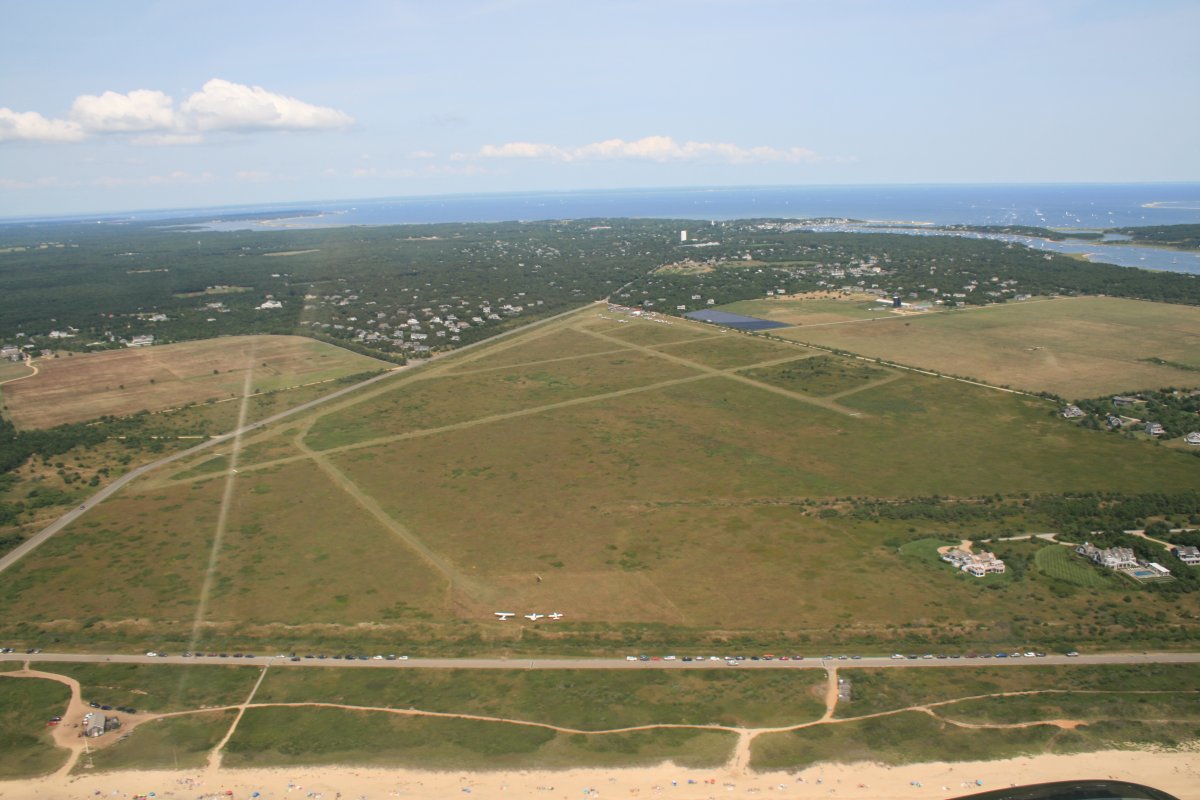
Taking off to the south and then turning west, I got an excellent shot of Katama airfield on my crosswind leg.  Three planes are visible on the beach parking ramp area.  The town of Edgartown is visible in the distance at the top right of the picture.
 
I liked Katama; really a neat airfield.
   
Passing Katama Bay which separates Chappaquiddick Island from Martha's Vineyard.
   
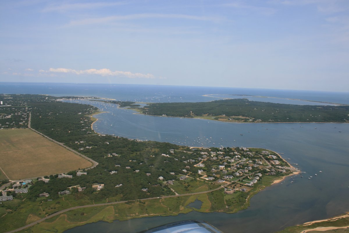
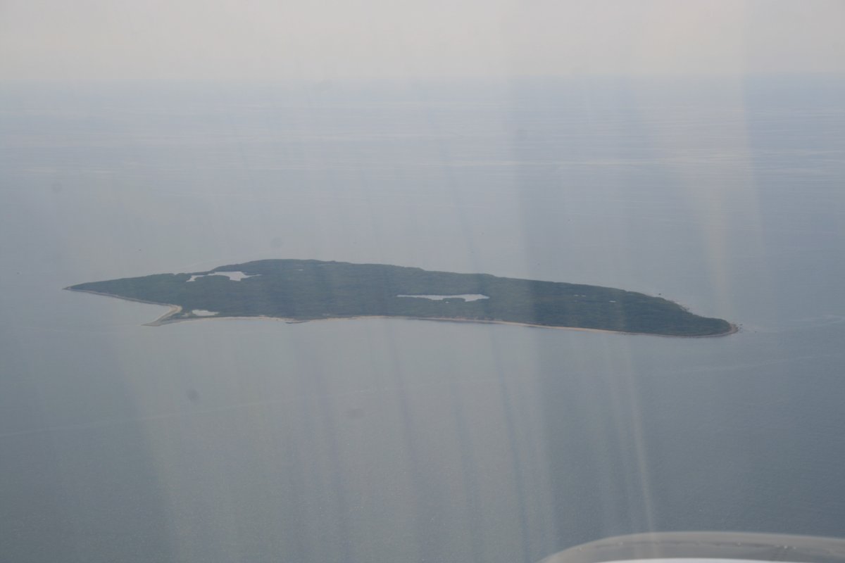
About to round the southeast corner of Chappaquiddick Island.
   
Can you guess what that little bridge down there is?   Yes, it's the infamous bridge where in 1969 Ted Kennedy drove his car off into the pond and his passenger Mary Jo Kopechne drowned.
   
Continuing north along the beach.
   
XXX
Turning west to check out Edgartown.  Now Katama airfield is at the top of the picture.  Look at all the boats!  You have to take a ferry to get from Edgartown to Chappaquiddick Island.
   
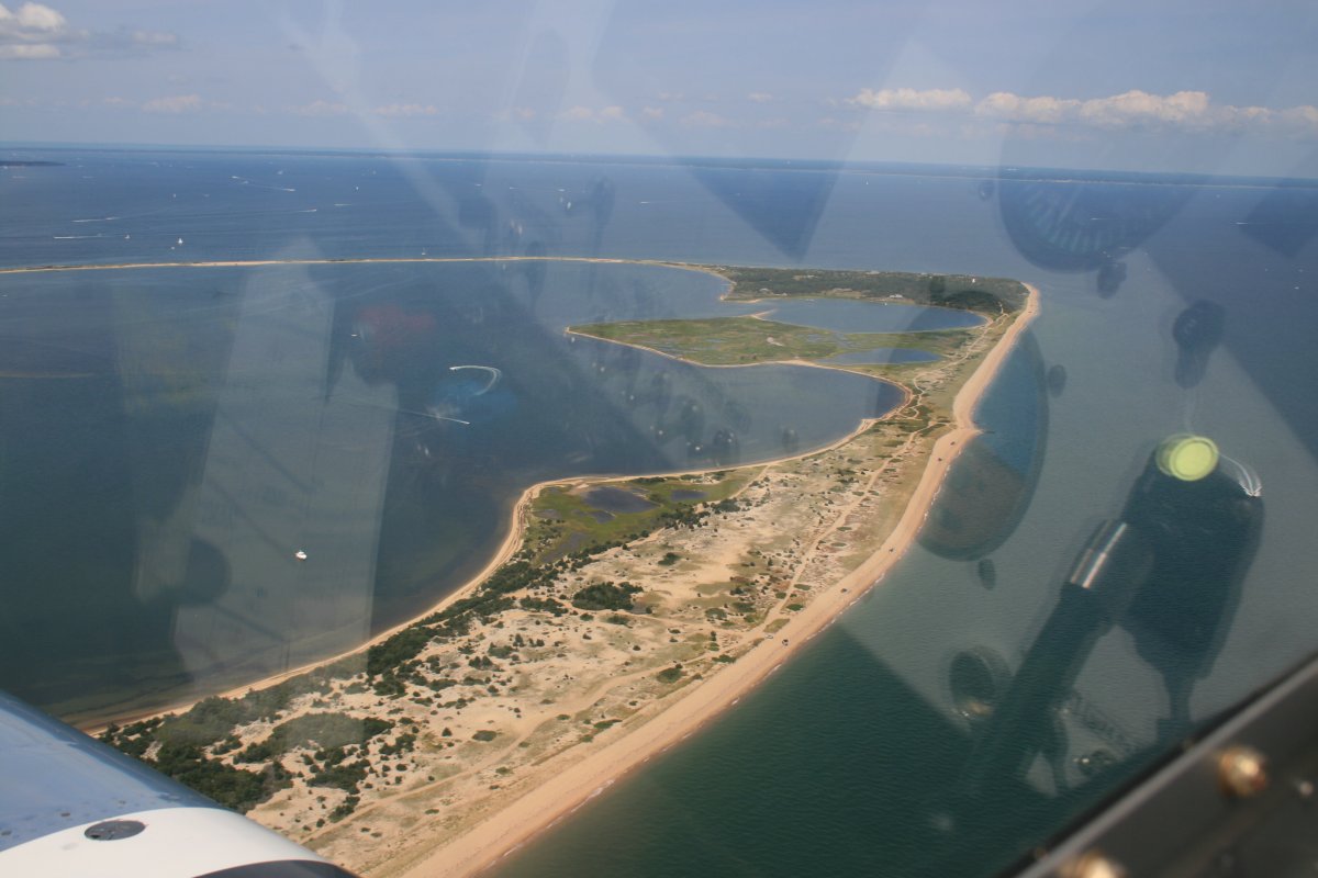
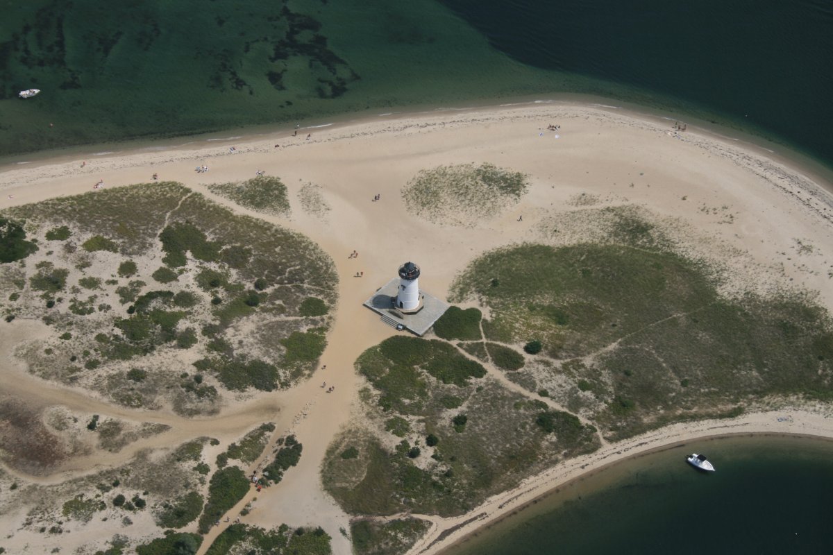
Lighthouse and beach, appropriately named "Lighthouse Beach".
   
Must be nice, bringing your big yacht to Martha's Vineyard!
   
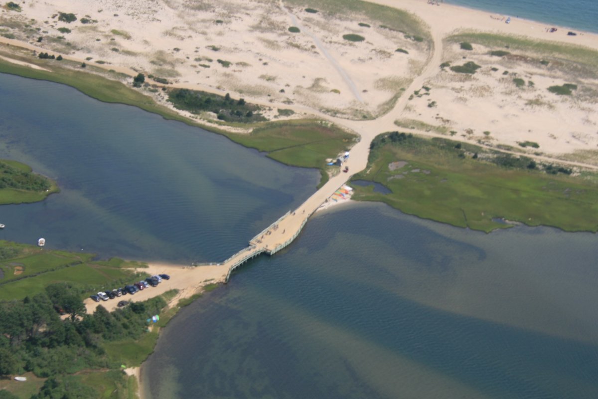
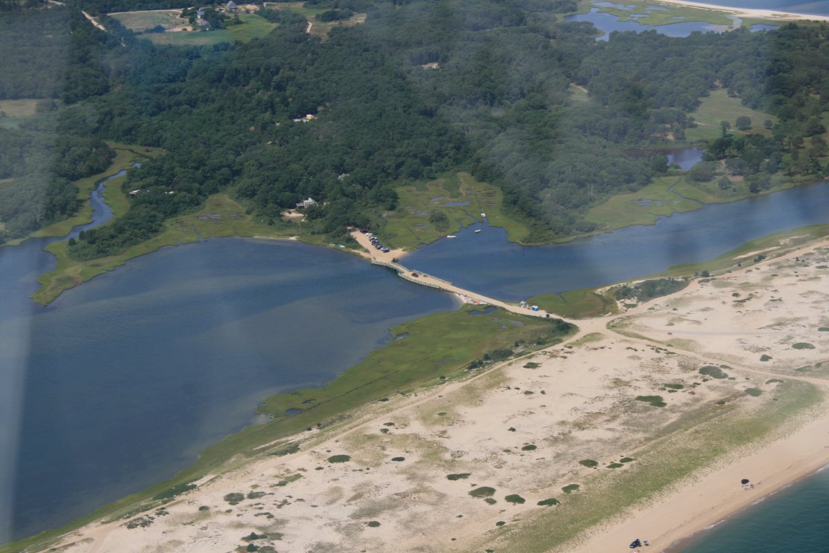
I turned east again and got another look at the bridge.


Previous
Home
Next